
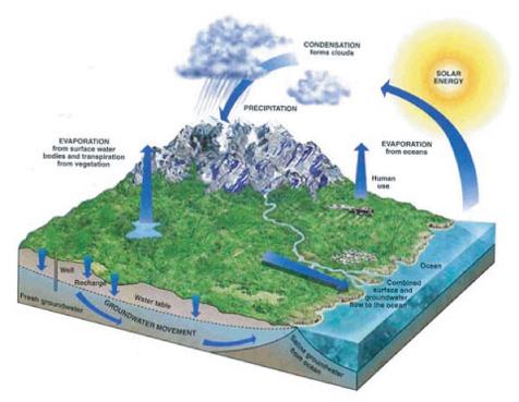
 Groundwater modeling is an important part of many hydrogeologic projects as it provides a complex and robust tool to evaluate groundwater conditions and provides a means for evaluating solutions to various scenarios and problems while incorporating changes in conditions with time.
A groundwater model for the Mid-County groundwater basin was developed to better evaluate the effectiveness of proposed long-term water resources projects and guide solutions to the overdraft conditions and seawater intrusion. This computerized model utilizes GSFLOW, an integrated surface water-groundwater model developed by the US Geological Survey (USGS). (link to https://water.usgs.gov/ogw/gsflow/) The Department of Water Resources regulations for Groundwater Sustainability Plans set surface water-groundwater models as best available science for evaluating projected groundwater conditions.
Uses of Groundwater Model:
- Evaluating historic and projected water budget
- Comparing projected groundwater levels to protective elevations for preventing seawater intrusion
- Estimating the time needed to achieve basin recovery, i.e. raise groundwater levels to protective elevations, under various pumping and recharge/injection scenarios
- Assessing the impact of various pumping and recharge/injection scenarios on ongoing seawater intrusion
- Evaluating the impact of various pumping and recharge/injection scenarios on streamflows
- Coordinating pumping between water agencies
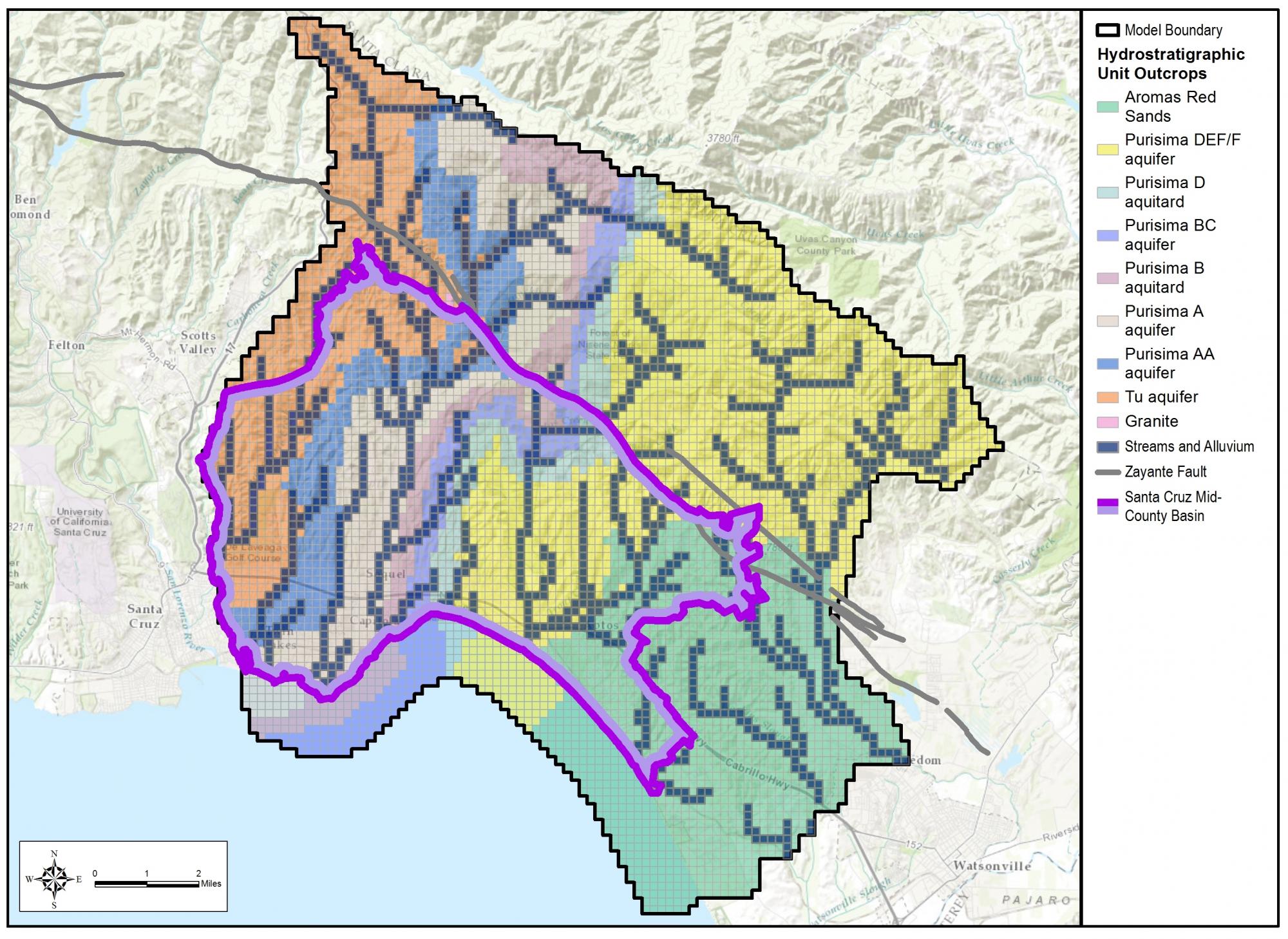
The figure below shows the model area compared to the basin boundaries as well as the hydrostratigraphic unit outcrops for the nine layer model.
A recording of the Groundwater Model webinar presenting information on the model and its uses on February 11, 2019.
A presentation was given at Orientation Session #4 all about the groundwater model, which is available to view on the Orientation Sessions page.
The documents below provide detailed information about the Model:
Technical Memo, Climate, Aug 2017
Technical Memo, Simulation Concepts, Nov 2016
Technical Memo, PRMS, Aug 2016